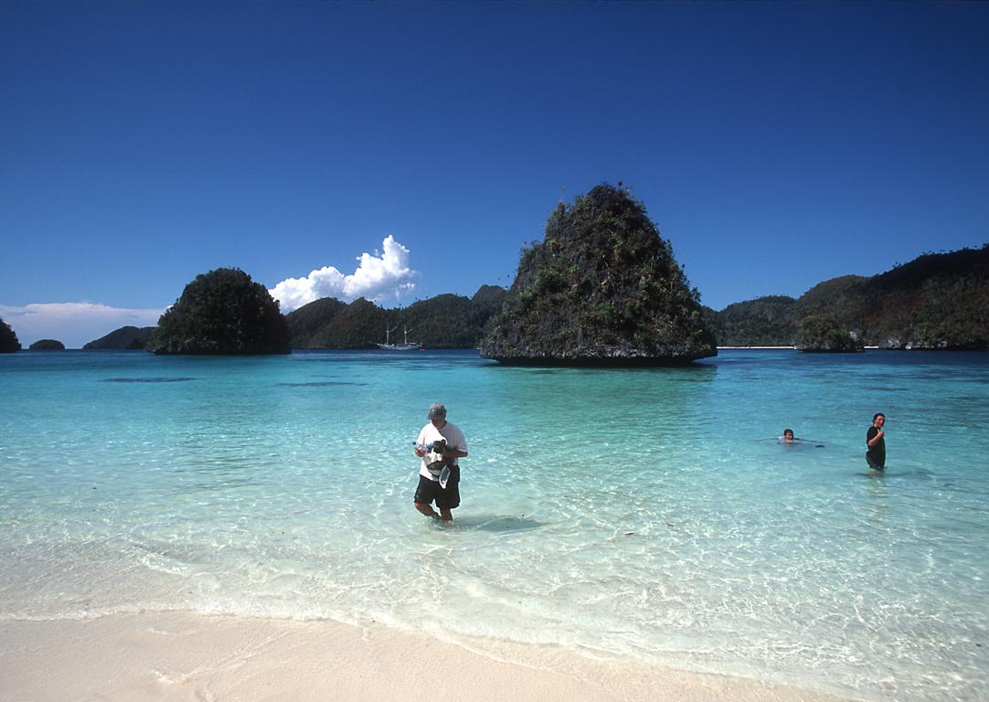
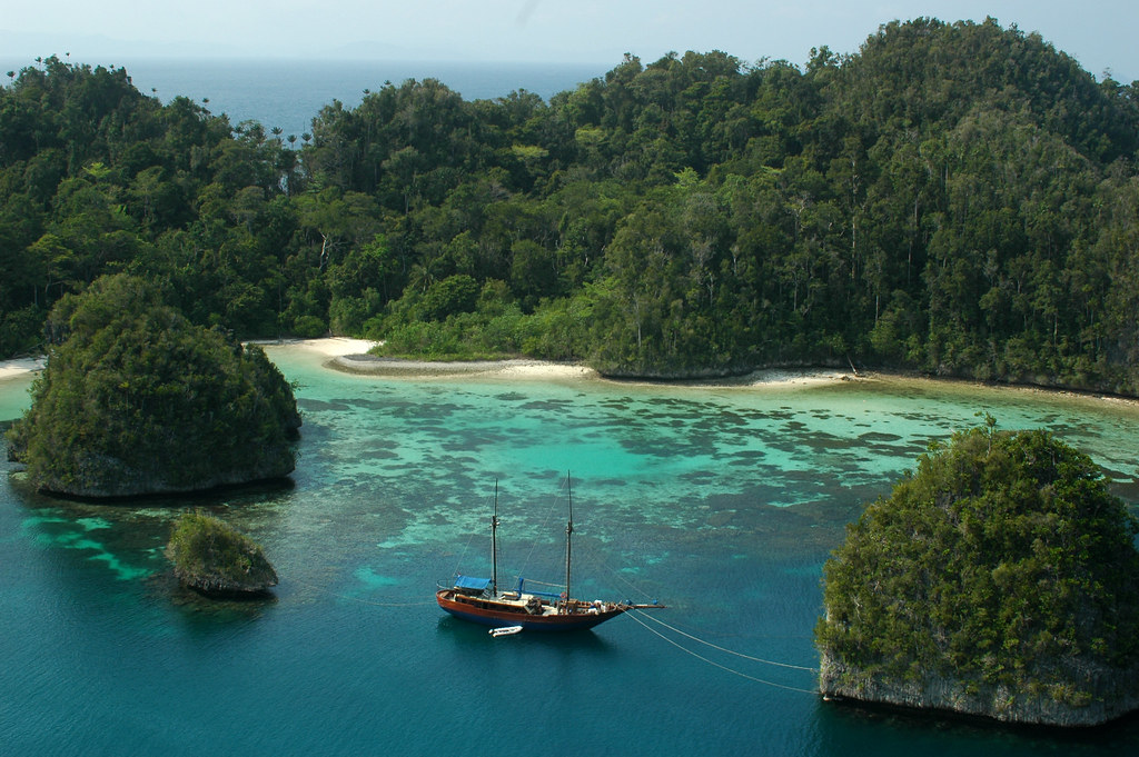
 For now, this is mostly a collection of photos and some maps from my first trip to the Raja Ampat Islands in Papua Barat/West Papua (formerly known as Irian Jaya) in 2002, but I will I will keep adding text and facts to this site. I returned to the area in 2006 - you can see photos from that trip (which also included The Banda Islands, Ambon, Manado and more) at the Indonesia section of my Flickr Pages.
This small area in Indonesia has the richest coral reef life in the world. Kind of the coral reef epicenter of the planet. It's expected to soon become the first marine Unesco World Heritage Site. Unfortunately, the underwater housing for my camera had a little problem with leakage... so I didn't have the opportunity to do any underwater photography.
Apart from the reefs, this area also has some of the most stunning top-side views in the world; lime stone islands that reminds you of, but are even more dramatic than, the famous Rock Islands of Palau; big cathedral-like caves inside the islands; quiet lagoons with crystal white sand and water in every shade of blue and green; bird life such as the Birds of Paradise that brought Alfred Russel Wallace to this region over a century ago; the most stunning sunsets you'll ever see; and - almost no tourists...
I really liked this place.
One reason why I decided to prepare this site was that you won't find any information on this area in standard Indonesian travel guide books such as Lonely Planet. The Raja Ampats, located west of the Birds Head Peninsula, are administratively part of Papua Barat/Iran Jaya, but they are very different from the rest of west Papua, which the travel guides are focused on. Geographically and when it comes to nature, history and culture, the Ampats are in many ways closer to Moluku.
Even earlier, Seramese traders from small islands off the eastern tip of Seram had established trade settlements, sosolot, throughout the region, exchanging cloth, beads, and other products from western Indonesia for trepang, plumes, forest products and slaves from Papua. There where also a strong ties to the island of Biak east of the Bird's Head Peninsula.
Rock paintings found in caves in Misool and in on the west coast of the Birds Head, as well as bronze artifacts, show that trade with other parts of Asia was already established 2 - 3 000 years ago.
Going further back, it should be noted that just 10 000 years ago, at the end of the last ice age, most of what is currently sea in this area was still land, roughly corresponding to the lighter blue parts in the Raja Ampat Map. This means that most of the early coastal settlements in this area are now submerged, and will require underwater archeology to be found and explored.
If you are considering a trip here, visit the Pindito's web site.
Personally, I am also keeping any eye on the developement of the Misool Eco Resort. It seems like it might turn into a very nice alternative if you are content with just diving Misool. It will open in October 2008.


 Raja Ampat area of Northwest Irian Jaya is filled with islands, surrounded by reefs and inundated with fish! After 9 years in the area we have only begun to discover the natural treasures awaiting us on each dive.
 egong Sharks are found on many dives, often lying atop perfect table corals like a fish carefully arranged by a chef on a dinner plate. The Epaulette Shark, a small shark only a foot long, is numerous and found very often on night dives in the seagrass or even on the shelf of a wall dive.
 The offshore reef sites, especially those near Kri Island are poplulated with MEGATONS of schooling fish! Many different species school in the current sometimes mixing so that a diver is surrounded by a chaotic mass of fish life. The most common to see are barracuda, jacks, bannerfish, surgeonfish, fusiliers, parrotfish and snappers. All in many species. The fish are so dense that they sometimes block the view of your dive buddy or the surface!
 dives are drift dives due to strong currents in the area. The currents provide nutrients for the outstanding quantity and variety of fish life and corals in the area. A fabulous variety of colorful soft corals and plenty of reef fish are found at most sites. Large schools of fish are known to populate some areas, pelagics such as sharks, Manta and Mobula Rays, dolphin, whales and turtles are frequent sights.
 Raja ampat area is not only stunning underwater. Topside, the islands have a very diverse topography with steep mountain shores and deserted white sand beaches. The area is far off the beaten track and is rarely visited by foreigners. The raw beauty of the islands will fascinate you. It's dense jungle interior is known for its many orchids and the paradise birds. Waigeo and Batanta have the Wilson's and the Red Bird of Paradise both endemic to this area, as well as abundantly present Lorikeets, Parrots, Kingfishers, Eagles and Hornbills.